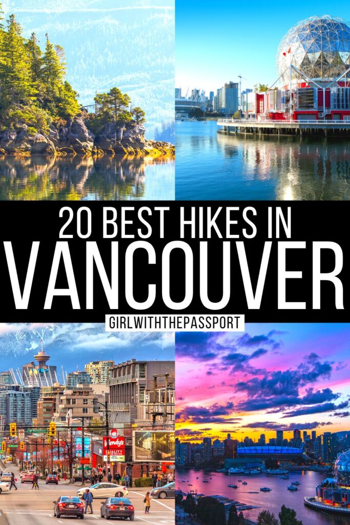
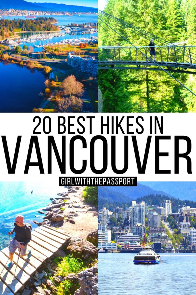
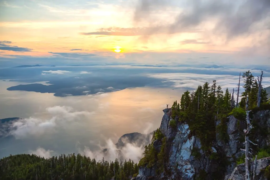
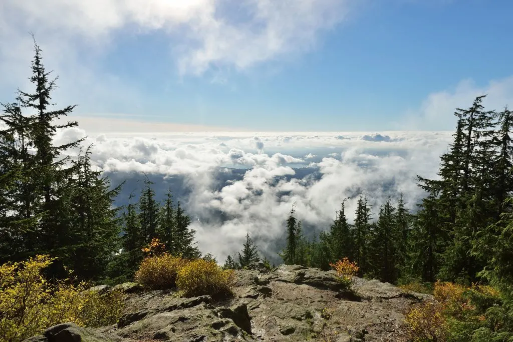
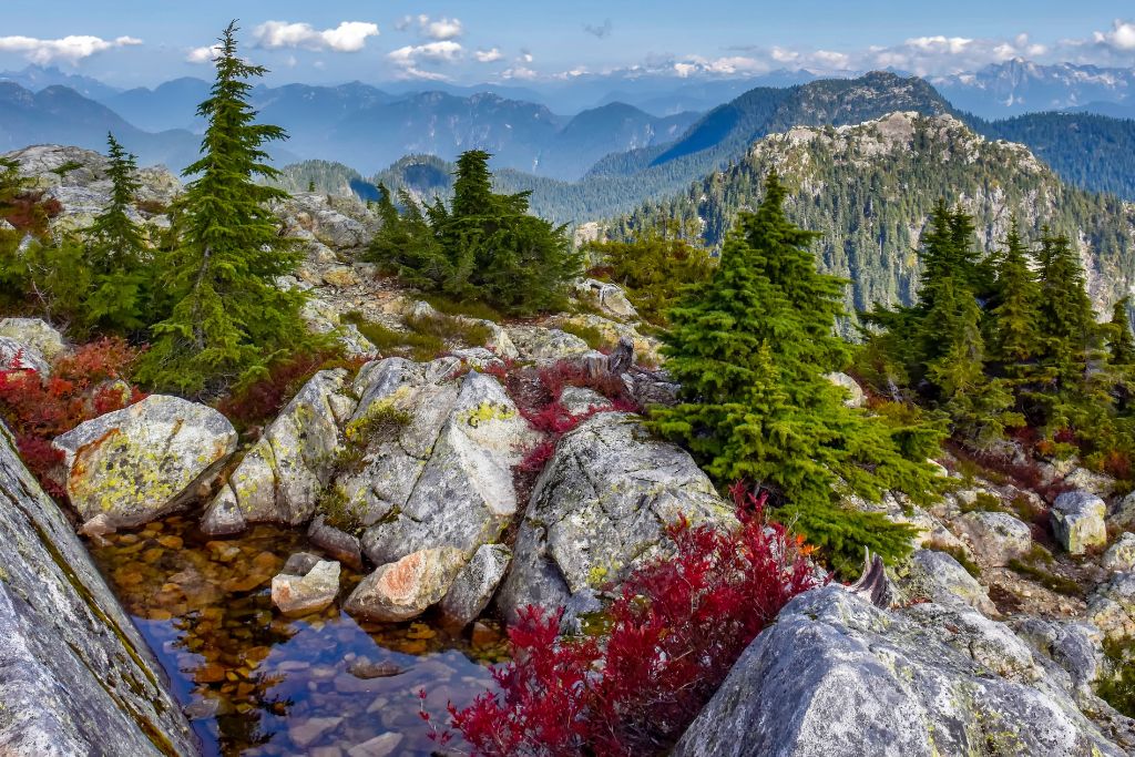
Ready to tackle some of the best hikes in Vancouver and channel the wilderness badass within?
Heck, yeah you are since we all love Vancouver and the incredible access this city gives you to the great outdoors.
I mean, everywhere you turn you’ll find incredible mountains, luscious forests, and stunning beaches.
So, get the most out of your visit and enjoy all the best hiking trails in Vancouver.
Because regardless of whether you’re looking for the best hikes near Vancouver that are easy, or are in the mood for more of a physical challenge, this is the post for you.
Trust me, I’ve been to Vancouver more times than I can count. And I want to share all my insider tips with you so that you can fall in love with Vancouver just like I did.
So, grab a giant fistful of trail mix and have your hiking boots at the ready! Because I’m about to introduce you to some easy hikes Vancouver has to offer.
However, there will also be a few top Vancouver hiking trails that are a bit more intense. Therefore, you’re guaranteed to find all the best hikes near Vancouver for people with varying fitness capabilities.
But, enough chitty chat. After all, you’re a busy human who wants to use this expert guide to plan a very Vancouver vacay.
Therefore, let’s swan dive into this list of the best hikes in Vancouver so that you can plan a trip to remember to one of the greatest places in the world.
This post may contain affiliate links. Please see my disclosure for more information. As an Amazon Associate, I earn a small commission from qualifying purchases.
Best Hotels in Vancouver
Planning a trip to Vancouver but not sure where you should stay while enjoying the best hikes in Vancouver?
If so then this list of the best hotels in Vancouver is perfect for you.
Because regardless of your budget, there is a fantastic hotel that will make for the perfect home base from which to explore the best hikes near Vancouver.
- YWCA Hotel Vancouver (budget) – Just a quick walk from the Chinatown Skytrain station, this great budget accommodation has minimal rooms with WiFi, desks, shared bathrooms, and more. There are also three fully stocked kitchens on-site and guests can use communal lounges to watch TV.
- Sylvia Hotel (mid-range) – This charming oasis of tranquility overlooks English Bay and the hotel itself is a quaint, ivy-covered building from 1912. And while rooms her are fairly straightforward – with WiFi and flatscreen TVs – there’s a chill restaurant with a patio that has waterside views.
- The Listel Hotel Vancouver (mid-range/luxury) – This stunning, well-priced, 4-star hotel is a short walk from the harbor and features comfy, retro-style rooms with unique art. There’s also a great sustainable restaurant on-site and a small resort fee gives you access to WiFI and a fitness center.
- Fairmont Hotel Vancouver (mid-range/luxury) – Located a short walk from City Centre Station, this luxurious 4-star hotel dates back to 1939 and is known for impeccable, traditionally decorated rooms with flat-screen TVs, Wifi, and in-room coffee makers. Other highlights include a spa, 24-hour fitness center, an international restaurant, a spa, and an indoor pool.
Best Hikes in Vancouver – Easy
1. Quarry Rock Hike

Let’s start off with one of the easiest best hikes in Vancouver!
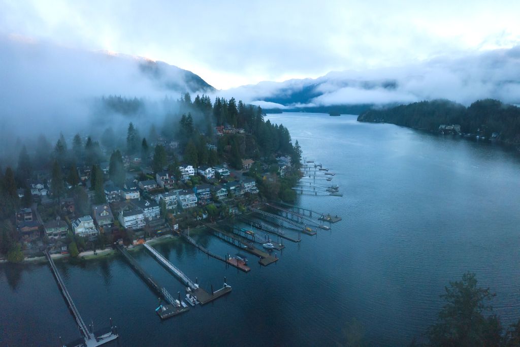
To the north of the city is a place called Deep Cove, a small piece of the Indian Arm lake just past Vancouver Harbour.
That’s where you can find the path that leads out to Quarry Rock, where this trail gets its name.
This beginner-friendly trail is actually part of the more difficult Baden Powell hike (which I’ll talk about more below).
On your journey, you’ll travel through the beautiful Cove Forest, which features some trees that are over 600 years old!
Fortunately, the trail has had some up-to-date help, with boardwalk steps and handrails available to assist you up those inclines (of which there aren’t that many).
At roughly 4km (2.5 miles) in length, it takes an average of 90 minutes to complete this trail, from the trailhead to Quarry Rock and back again.
That’s right: this is not a loop hike. You’ll be heading out and then back again along the same route.
So, you’ll get to see all the amazing forestry this trail has to offer twice as you enjoy one of the best hikes near Vancouver.
The Quarry Rock Hike also begins at the Baden Powell trailhead in Deep Cove, right on the appropriately named Panorama Drive.
Location: Near Belcarra
Difficulty: Easy
Distance: 2.5 miles
Route: Out and Back
Elevation Gain: 705 feet
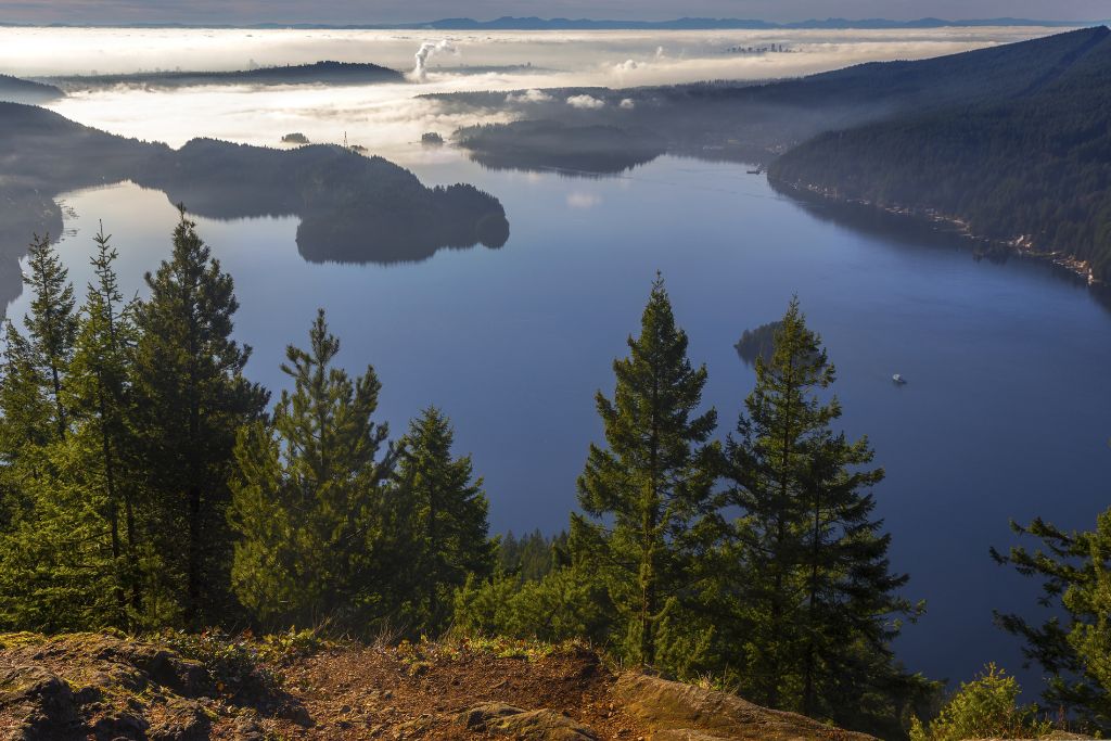
2. Killarney Lake Loop

It’s time to head out onto the water in order to reach one of the best hiking trails in Vancouver!
And your destination is Killarney Lake on Bowen Island, which sits in the northwestern part of Vancouver.
On the ferry from Horseshoe Bay (which takes about 20 minutes), you’ll arrive on the island in the adorably named Snug Cove! How cute is that?
This island might be small, but it contains one of the best hikes in Vancouver IMO: the Killarney Lake Loop.
It’s the most popular hike on Bowen Island and is about 9km (5.6 miles) round trip, and takes about 2 to 2.5 hours to complete depending on your pace, and whether you want to stop for a swim!
The loop also has minimal elevation gain so it’s perfect for anyone looking for a relaxing walk through the woods while meandering along the shores of the lake.
There is also parking at the southern point of the lake, and you can even join the Killarney Lake Loop trail there.
After all, it’s a loop, so the trailhead is wherever you want it to be!
Location: Near Bowen Island
Difficulty: Easy
Route: Loop
Distance: 4.9 miles
Elevation Gain: 603 feet
3. Lynn Loop
For one of the most relaxing and enjoyable trail walking experiences, it’s time to head north and experience some easy hikes Vancouver has to offer.
Now, the Lynn Loop hiking trail runs through shaded woodland and along a calm rocky creek.
In totel, the whole route is about 5.5km (3.4 miles) long and takes around 1.5 hours to complete.
Most visitors to one of the best hikes in Vancouver take the route counter-clockwise, and I advise you to do the same, even though you can do it clockwise.
This is because, as well as hiking and dog-walking, the Lynn Loop has plenty of opportunities for birdwatching, and it’s a good route for running too.
So you’ll probably see a lot of other hikers and outdoor enthusiasts on your trip around the loop as you enjoy one of the best hiking trails in Vancouver!
To find the trailhead for the Lynn Loop, head to the Lynn Headwaters Regional Park. That is not the first time this place will feature on this list of the best hikes in Vancouver btw.
Park up at the Lynn Headwaters Entrance, and then head north across the river on Lynn Valley Road, and you’ll join the trail there.
Location: North Vancouver
Difficulty: Easy
Route: Loop
Distance: 3.4 miles
Elevation Gain: 613 feet
Best Hikes in Vancouver – Moderate
4. St. Mark’s Summit

This particular trail is a little out of the way. And by that I mean it’s about 16km (10 miles) to the north of West Bay, which is right in the top corner of Vancouver.
But it’s still one of the best hikes in Vancouver as far as I’m concerned, if only for the jaw-dropping views!
After all, the St. Mark’s Summit trail is part of the much larger Howe Sound Crest Trail which leads way up north past Brunswick Mountain.
Fortunately, we only need to look at the first part between Cypress Mountain and St. Mark’s Summit itself to enjoy one of the best hikes near Vancouver.
Start at the Cypress Mountain downhill parking lot and head north, towards the main ski lodge and nearby chairlift – there will be markers for the Howe Sound Crest Trail to guide you from there.
While there is a larger gain in elevation on this hike (460m/1500 feet), it’s spread gradually throughout the trail.
So, there’s no part that is particularly difficult to get through. Overall, it’s 11km (6.8 miles) long and will take most hikers between 5 and 6 hours to complete.
Even though this trail is not the most difficult, some hikers get lost and occasionally require rescue. So, make sure to plan ahead and know your route!
Location: North Vancouver
Difficulty: Moderate
Route: Out and Back
Distance: 6.5 miles
Elevation Gain: 1925 feet
5. Norvan Falls Trail

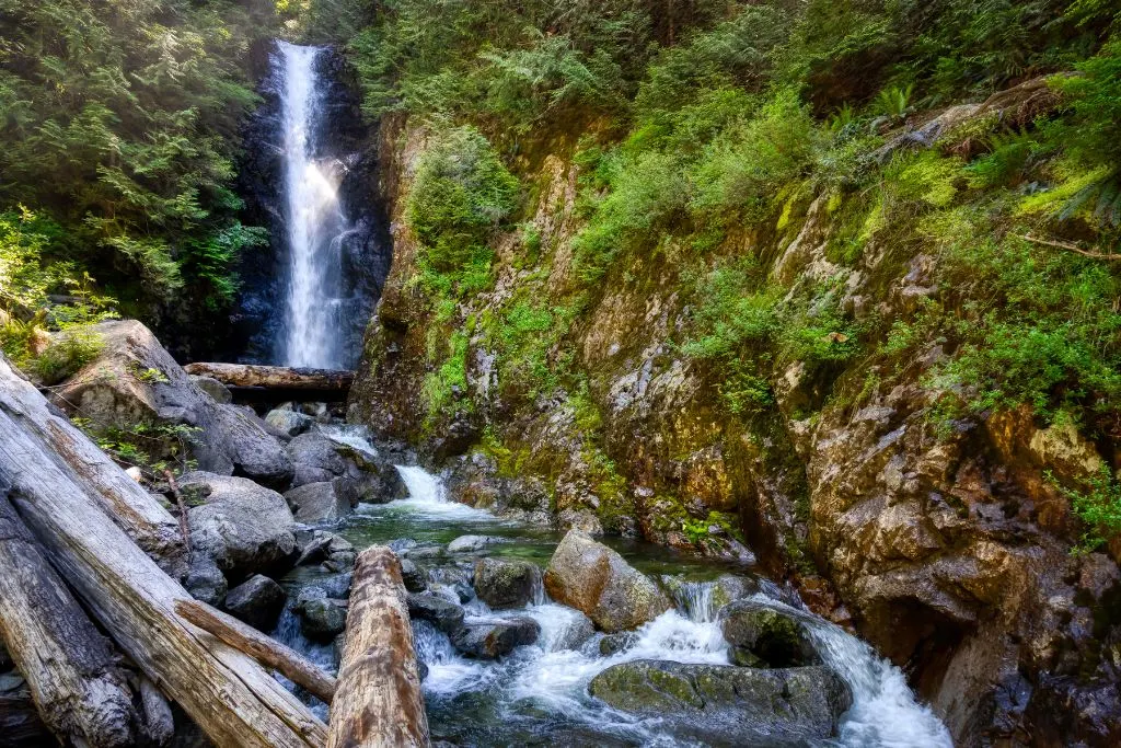
What could be better than a hike that leads to an amazing view? Well, how about if that view was of a gorgeous natural waterfall straight out of a postcard?
Seriously, the payoff for making this waterfall hike is totally worth it. Plus, part of what makes this one of the best hikes in Vancouver is that it’s only a moderately taxing journey!
So, start yourself off at the Lynn Headwaters Regional Park (sound familiar?), heading north from the entrance parking lot and following the river.
In fact, for the first part of this hike, you’ll be following the route of the Lynn Loop trail, so you know you’ll have an easy start along one of the best hikes around Vancouver.
After that, just keep heading north along the well-marked route towards the sound of rushing water.
The trail is mostly flat, with an increase of less than 200m (656 feet) across the 14km (8.6 miles) you’ll be traveling along, with a journey time of around 3.5-4 hours.
Because your ultimate destination is the majestic Norman Falls waterfall, I can recommend wearing waterproof hiking shoes.
Yeah, the ground will be muddy when you get there and there are plenty of creeks to cross along the way!
Location: North Vancouver
Difficulty: Moderate
Route: Out and Back
Distance: 8.6 miles
Elevation Gain: 1131 feet
6. Dog Mountain Trail
Hovering on the cusp between being easy and moderate in difficulty, the Dog Mountain Trail is nonetheless a fun and enjoyable hike that can be made seasonally.
Strangely, this is a tricky one to pin down. Because what the Dog Mountain Trail lacks in elevation it makes up for in being challenging underfoot.
In fact, there are plenty of roots, loose rocks, and slippery areas that could catch you unawares!
Despite this, it is still one of the best hikes in Vancouver, and with a length of just 5 km (just over 3 miles) you can be out and back in around 2 hours.
You’ll also be in Mount Seymour Provincial Park, to the west of Indian Arm Lake in northern Vancouver.
To reach the trailhead, start in the Mount Seymour Resort parking lot and walk to the Mystery Peak Express chairlift.
There will then be a sign to the left pointing you in the right direction for Dog Mountain and First Lake, which is near your destination.
Make sure to keep an eye out for all the wild flowers you’ll see along the way on one of the best hikes around Vancouver!
Location: North Vancouver
Difficulty: Moderate
Route: Out and Back
Distance: 3.5 miles
Elevation Gain: 541 feet
7. Eagle Bluffs

Starting at Cypress Mountain ski lodge and heading southwest to the bluffs, this moderately challenging hike will take you through a mountainous region full of Insta-friendly vistas.
Therefore, it’s easily one of the best hikes in Vancouver for mountain lovers!
During this 9km (5.6 miles) trail, you’ll trek from Cypress Mountain onto Black Mountain and pass by Mount Strachan, the Lions and see the Tantalus Range to the north.
Yeah, that’s a lot of mountains. Especially in 4 hours, which is the average time most hikers spend on this trail.
But with great mountains come great elevation changes. So, during the course of the hike you’ll be covering a 320m (1050 feet) elevation change across a variety of terrains that feature some steep areas to deal with.
Now, the trailhead for this route can be found at the end of the Cypress Mountain ski lodge parking lot.
Just walk over to the BC Parks sign near the Eagle Express Quad Chair and take the route towards Black Mountain and the Howe Sound Crest Trail.
Location: Anmore
Difficulty: Moderate
Route: Out and Back
Distance: 5.6 miles
Elevation Gain: 1050 feet
8. Sendero Diez Vistas

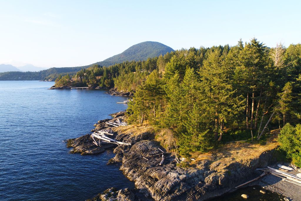
Sandwiched in between Indian Arm Lake and Buntzen Lake in northeast Vancouver, this trail is named for the “ten views” that will blow you away.
This 15km (9.3 mile) hike is one of the best hikes in Vancouver for anyone looking for the best scenery British Columbia has to offer. It’s literally called the Ten Views Trail!
It’s a moderate to difficult hike, and it will take up most of your day to do the entire loop since the trail wraps around the whole of Buntzen Lake and takes 6-7 hours to complete.
Because of the length, there’s also a modicum of elevation change, totalling 440m (1443 feet), which is why this trail is seen as more difficult than other moderate hikes.
To begin, head to the Buntzen Lake Recreation Area on the eastern side of the lake, and begin walking the “Energy Trail”.
This trail leads around the edge of the lake and becomes the Sendero Diez Vistas Hike once you’ve crossed the lake’s floating bridge.
See if you can get the best collection of shots from each of the ten scenic viewing points as you enjoy one of the top hikes near Vancouver.
Location: Anmore
Difficulty: Moderate
Route: Loop
Distance: 9.3 miles
Elevation Gain: 1443 feet
9. Lynn Peak

It’s time to get to the Lynn Headwaters Regional Park again!
This time, we’re heading up (and up, and up) towards Lynn Peak. The elevation gain here is one of the biggest of the best hikes in Vancouver on this list: 720m (2300+ feet)!
But, in addition to the amazing legs you’ll have once you’re done, the climb is totally worth it for the expansive view!
Most hikers will be on this trail for around 4 hours to cover the 8.3km (5 miles) from start to finish and back again.
Beginning at the Lynn Headwaters Regional Park entrance, take the Lynn Loop trail to the right at the first fork, then follow the sign for Lynn Peak when you see it and start heading uphill. It’s that simple!
Location: North Vancouver
Difficulty: Moderate
Route: Out and Back
Distance: 5 miles
Elevation Gain: 2300+ feet
10. Joffre Lakes
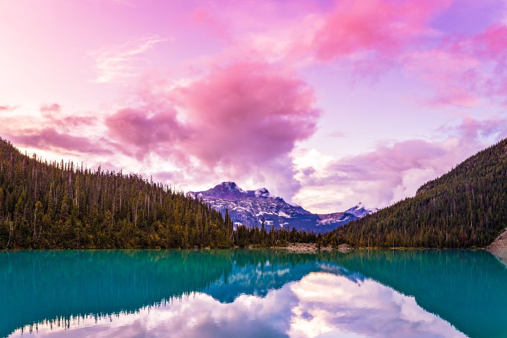

Ok, so this trail might be 182km (113 miles) from the city of Vancouver itself, up by Mount Matier.
But, that’s totally close enough for a day trip and that makes it one of the best hikes in Vancouver IMO.
It’s certainly one of the most beautiful, with waterfalls, wildflowers and sweeping hillsides covered in lush forest and campsites for anyone who wants to stretch out under the stars.
The trail is also 10km (6.2 miles) long, with a steady incline and a couple of technically challenging areas to keep you on your toes.
To get to the trailhead, head to the parking lot at Joffre Lake Provincial Park on Duffey Lake Road. From there, head south towards Lower Joffre Lake and take the trail around to the right.
Pro Tip: This is one of the best hikes near Vancouver that requires a free day-use pass in order for you to access Joffre Lakes Provincial Park. You can book one two days in advance of your visit.
Location: Nesuch 3
Difficulty: Moderate
Route: Out and Back
Distance: 6.2 miles
Elevation Gain: 1617 feet
11. Big Cedar and Kennedy Falls
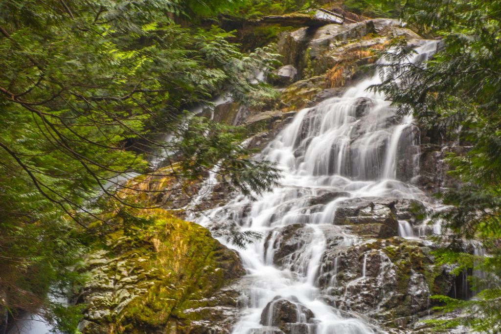
While this isn’t the most difficult of the best hikes in Vancouver, it is a rocky and uneven hike. So, be careful not to trip on anything.
Now, one of the biggest highlights of this hike is the eponymous Big Cedar Tree (about 90 minutes into the hike). It is believed to be around 600 years old and one of the few not to be logged in the area.
As tempting as it is, don’t get too close to the tree as it is suffering from mass erosion and keeping our distance is the best way to preserve it!
And, of course, Kennedy Falls themselves are well worth the entire trek! Make sure to take some time to cool off and refresh after tackling one of the best hikes in Vancouver.
The trailhead also starts at the parking lot at the top of Mountain Highway. However, it fills up quickly on weekends and public holidays, so come early if you’re driving.
Location: North Vancouver
Difficulty: Moderate
Route: Out and Back
Distance: 6.1 miles
Elevation Gain: 1417 feet
12. Abby Grind
One of the shortest best hikes in Vancouver, the Abby Grind can be completed in less than an hour by strong hikers (those of us who are less fit might take a bit longer).
Of course, that’s just one way. So, yeah,you’ll still need to get back down!
However, 4 km (2.5 miles) hiking trail is actually pretty popular as a fitness training exercise. Therefore, don’t be discouraged if other hikers are zooming past you. Remember, slow and steady wins the race.
There aren’t many worthwhile views on the hike up, but the views over Abbotsford and Fraser Valley are a welcome treat.
The trailhead for Abby Grind can also be found at the end of the gravel parking lot near Abbotsford Fish & Game Club.
Location: Upper Sumas 6
Difficulty: Moderate
Route: Out and Back
Distance: 2.5 miles
Elevation Gain: 1437 feet
13. Elk Mountain
Elk Mountain trail is located near the town of Chilliwack, which is a 90 minute drive from Vancouver.
Also, depending on the time of year, this hike could be considered intermediate or difficult. In fact, due to the steepness of the hike, it can become quite slippery throughout the rainy season. So, be careful.
Now, this 7 km (4.35 miles) hike might be daunting with its 800 meter (2625 foot) elevation gain. However, I promise it’s absolutely worth it for the stunning views over the surrounding mountains and countryside.
It does take about 4 hours to complete, though, so make sure you don’t have a jam-packed day of sightseeing planned.
Plus, that’s just four hours of hiking time. Because you’ll definitely want to stay and admire the view while you rehydrate and snack at the top of the mountain.
To find the trail, follow Trans-Canada Highway #1 East from Vancouver. Then, turn right onto Prest Road.
At the second roundabout, turn left onto Bailey Road, which then forks. Take the right fork onto Elk View Road.
From there you just follow the road. It’s an uphill climb with a lot of turns, but at the end you’ll find a gravel parking lot with the trailhead. The trail is then well marked from the highway.
Location: Chilliwack
Difficulty: Moderate
Route: Out and Back
Distance: 4.3 miles
Elevation Gain: 2625 feet
Best Hikes Near Vancouver – Difficult
14. Grouse Grind Trail
If you want a difficult hike, but aren’t all that keen on spending the day doing it, Grouse Grind Trail is the perfect hike for you.
This 2.5 km (1.5 miles) hike is one of the best hikes near Vancouver and can easily be completed in under 2 hours while still challenging your mind and body.
Now, as you might exoect, there is little reprieve with his hike as you’ll start your ascent immediately.
The trail also barely lets up until you reach the top where you will be rewarded with breathtaking views. Unfortunately there are few panoramas to enjoy along the way.
If you do want to keep hiking, there are several other longer hikes from the summit, including Goat Mountain and Dam Mountain.
Grouse Grind Trail is just 30 minutes from Vancouver. Directions to Grouse Mountain, the parking lot, and the trailhead are all well marked and hard to miss.
Location: North Vancouver
Difficulty: Difficult
Route: Point to Point
Distance: 1.6 miles
Elevation Gain: 2529 feet
15. Mount Seymour

Although a difficult trek, the Mount Seymour Trail is one of the more popular hard hikes in Vancouver. It also takes an average of 4-5 hours to finish.
If you know the area, you probably guessed it’s part of the Mount Seymour ski area, and is a popular spot in winter. But, spring to fall sees this trail populated by lots of eager hikers.
Therefore, you are very unlikely to have the trail to yourself this time of year – especially on the weekends or during Canadian holidays.
This trail also brings you past First Peak (below) and provides stunning views of Vancouver, the Indian Arm and miles of the surrounding mountains. Therefore, don’t forget your camera!
In optimal weather, and from the right vantage point, you can sometimes even see Vancouver Island.
You can also spot the easy-to-find trailhead from the downhill ski area parking lot at Seymour ski area.
Location: North Vancouver
Difficulty: Difficult
Route: Out and Back
Distance: 5.1 miles
Elevation Gain: 1893 feet
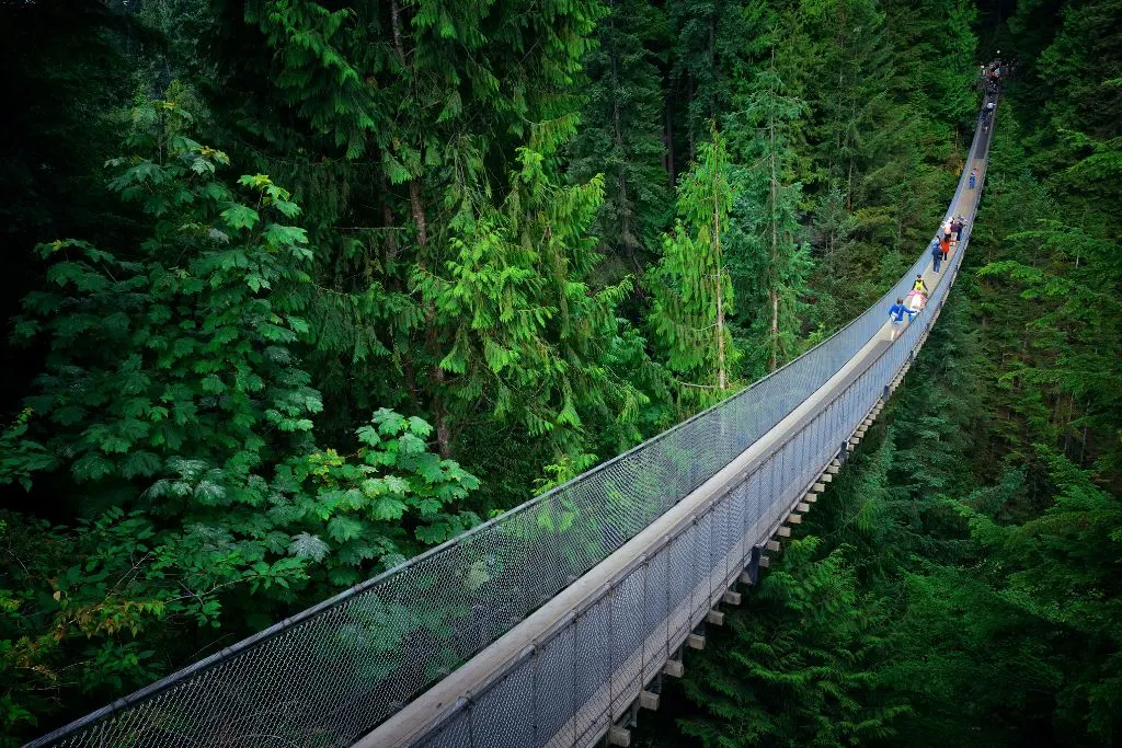
16. Baden Powell

If you truly want to challenge yourself, the Baden-Powell Trail is for you. This behemoth of a trail is 48 km (30 miles) and takes AT LEAST 17 hours to complete.
Alternatively, there are different trailheads scattered throughout. So, you can opt to do smaller segments.
Two of the more popular segments are Lynn Canyon to Grouse Mountain (10 km, or 6.2 miles) or Deep Cove to the Lynn Valley Suspension Bridge (12 km, or 7.5 miles).
Given its length, it’s no surprise there are many highlights along the hike with the Lynn Canyon Suspension Bridge perhaps being at the top of the list.
You’ll also get some of the absolute best views of Vancouver from Eagle Bluff as you enjoy one of the best hikes around Vancouver that stretches from Horseshoe Bay to Deep Cove.
Location: West Vancouver
Difficulty: Difficult
Route: Point to Point
Distance: 30 miles
Elevation Gain: 8,031 feet
17. First Peak (Pump Peak)
Although technically part of Mount Seymour, First Peak is a separate trail and one of the best hikes in Vancouver in its own right.
This peak is particularly popular in winter as it’s a idyllicsnowshoeing and skiing area. But, from May to September, it’s also fantastic for hikers.
And while it’s not as long as some of the other difficult hikes on this list (just 8 km, or 5 miles), it’s still strenuous and takes between 4 and 5 hours to complete.
Additionally, there are several nearby trails if you want to keep going, and everything here is well marked.
I also highly recommend stopping to rest, rehydrate and snack at Mystery Lake. It will certainly be a highlight of the hike.
Then, once you’ve reached the Mount Seymour ski area, you can find the trailhead at the bottom of the Mystery Chair. It’s clearly marked.
Location: North Vancouver
Difficulty: Difficult
Route: Out and Back
Distance: 4.4 – 5.0 miles
Elevation Gain: 1,555 feet
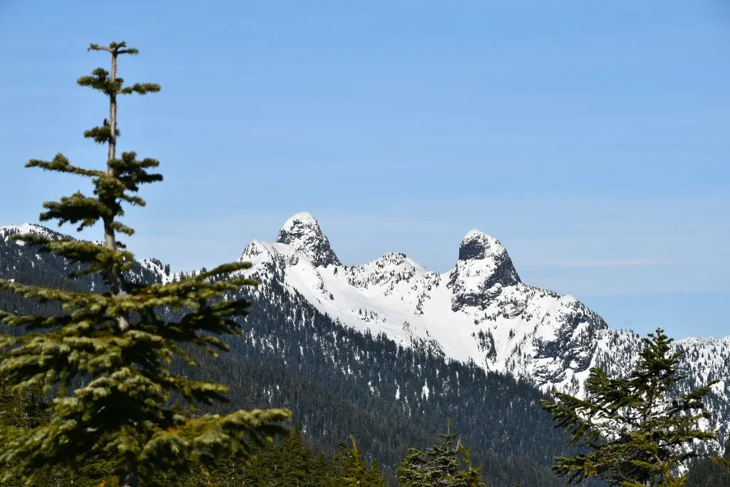
18. The Lions-Binkert Trail

One of the best hikes in Vancouver for those looking for all-day hikes, The Lions is a popular trail – and an iconic Vancouver landmark.
The Lions actually references two peaks (sometimes also called Two Sisters). However, the Lions-Binkert Trail only goes to the base of West Lions.
Also note that both peaks should ONLY be summited by experienced climbers with proper gear.
After all, this is definitely one of the more challenging hikes at 15 km (9.3 miles) and around 1300 meters (4265 foot) in elevation gain, but the views will make you forget all your struggles almost immediately.
So, along the hike, you’ll get breathtaking panoramic views of Howe Sound, Capilano Canyon, Lions Bay and more.
FYI, the Sea to Sky Highway (BC-99) north is the quickest route, but from pretty much anywhere in the city, you can follow signs to Lions Bay. Parking is limited though so arrive early!
Location: Lions Bay
Difficulty: Difficult
Route: Out and Back
Distance: 9.1 miles
Elevation Gain: 4,881 feet
19. Lynn Lake
Don’t be fooled by the idyllic name – this hike is killer! In fact, the Lynn Lake hike is typically closed at least 6 months of the year due to inclement weather conditions making it incredibly dangerous to climb.
And honestly, it’s best to wait until mid-to-late summer anyway for the creek-bed to dry out so your feet don’t get soaked traversing along it for miles on end.
Even in perfect weather, it’s full of difficult terrain and at 22 km (13.7 miles), it takes a minimum of 8 hours to complete for even the strongest hikers.
To find Lynn Lake, follow signs for Lynn Headwaters Regional Park. Then, once you arrive at the parking lot you’ll find the trailhead. You’ll also find the much easier Lynn Loop hike nearby.
And at just a 30 minute drive from the city, this is one of the top hikes near Vancouver for experienced hikers that is super close to the city too.
Location: North Vancouver
Difficulty: Difficult
Route: Out and Back
Distance: 13.5 miles
Elevation Gain: 2,664 feet
20. Mount Cheam

Mount Cheam might be one of the best hikes in Vancouver. But, before you even start the hike, you’ll have to prove yourself just to get there!
How so? Well, you literally cannot get to this hike without a 4×4 vehicle. And yes, this does set the tone for the entire hike 9.5 km (5.9 miles).
But, once you reach the top and marvel at the beauty of Chilliwack Valley, you’ll be glad you put in the effort.
Just be careful not to trip as there are lots of large rocks at the top as well as lose gravel you can easily slip on -especially if you’re tired.
This path can also be dangerous due to snow, which you’re likely to find even in July. And that makes sense since Mount Cheam is ideal for snowshoeing in the winters.
And one of the highlights along the way is a lake formed by an old meteorite crater with beautiful views across the valley.
Now, getting there is a bit completed…
The forestry service has been deactivated for many years, and a 4×4 really is necessary to get there as a car just can’t handle the terrain, and to hike to the trailhead is a further 15 km (9.3 miles)
So, you’ll find the access road located along the highway to Chilliwack Lake. Take the Trans-Canada Highway #1 from Vancouver and turn off at exit #119 towards Sardis.
From there, turn left onto Vedder Road until you reach Chilliwack Lake. Once here you’ll find a 3-way intersection.
Turn left and drive for 28 km (17.3 miles). Here you want to make a left turn onto Foley Creek Forestry Service Road.
After 2 km (1.2 miles) you should cross a bridge and come to a junction, turn left and follow it for another 2 km before turning right onto Chipmunk Creek Forest Service Road.
Don’t stop at the large gravel parking lot-esque area and just keep following the narrow road.
It will seem like you’re on the wrong road and you’ll be tempted to take one of the many turn-offs as it starts to get more off-terrain from here, but keep going straight for another 8-9 km (5-5.5 miles).
Finally, at the end of this will be an actual parking area. This is the start of one of the most epic hikes in Vancouver!
Location: Popkum
Difficulty: Difficult
Route: Out and Back
Distance: 5.2 miles
Elevation Gain: 2,191 feet
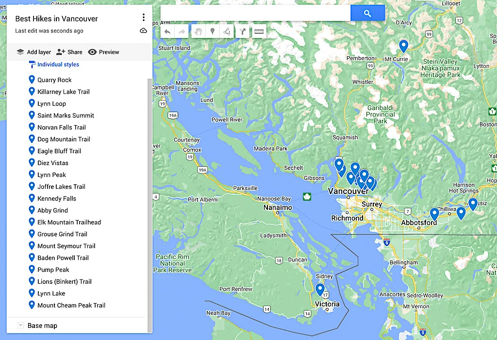
Map of the Best Hikes in Vancouver

Additional Canada Resources You’ll Love
- Vancouver to Banff Road Trip
- Pros and Cons of Living in Canada
- Best Places to Live in Canada
- Best Brunch in Vancouver
- Best Natural Hot Springs in British Columbia
There you have it! That just about wraps up this guide to the best hikes in Vancouver.
Tell me, did your picks for easy hikes Vancouver has to offer make the list? If not then let me know now!
And if you found this post on the best hikes near Vancouver helpful, don’t forget to join our email list before pinning this post now so that you can read it again later.