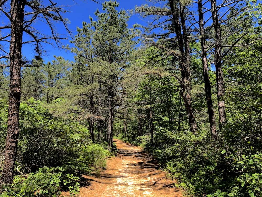
Looking for a KILLER hike but you live in NYC and don’t really wanna schlep all the way up to the Adirondacks? If so then this EPIC list of the best hiking trails on Long Island is totally for you.
Because this little guide right here? Well, it’s jam-packed with tons of expert tips and tricks that will lead you to all of the best hikes on Long Island, regardless of whether you’re a total hiking novice or an absolute boss hiker who has been doing this for years.
You know, someone who can quickly and easily build an entire shopping mall out of a single toothpick while stranded in the forest.
But, alas, I digress. So, back to hiking Long Island and all the stellar Long Island trails that await you as you uncover some of the best things to do in Long Island.
I mean, not only do I LOVE the great outdoors, but I’ve been an NYC local my entire life (aka 30+ years). Therefore, I would routinely hit up Jones Beach, Robert Moses Beach, Montauk, and beyond while seeking out some of the best hikes in New York.
Therefore, I am the beyond perfect person to give you the inside scoop on all of the best hiking trails on Long Island.
So, grab a handful of some delicious trail mix and have your hiking boots at the ready since we’re about to sawn dive into 20 of the best hikes on Long Island…EVER!
Dear wonderful, beautiful, and oh-so-amazing reader (Yup, I lay it on thick for my dozens of fans). Since I am incapable of making it rain money, there’s a high probability (like 99.999%) that this post may contain affiliate links. Please see my disclosure for more information. As an Amazon Associate, I earn a small commission from qualifying purchases.
Easy Hiking Trails on Long Island
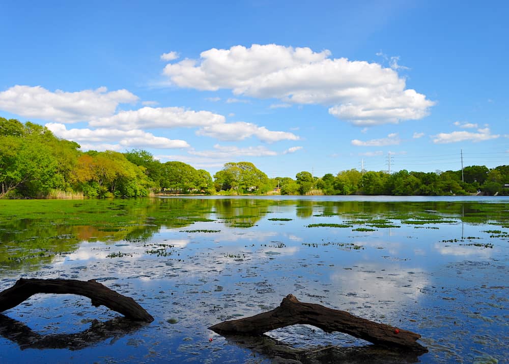
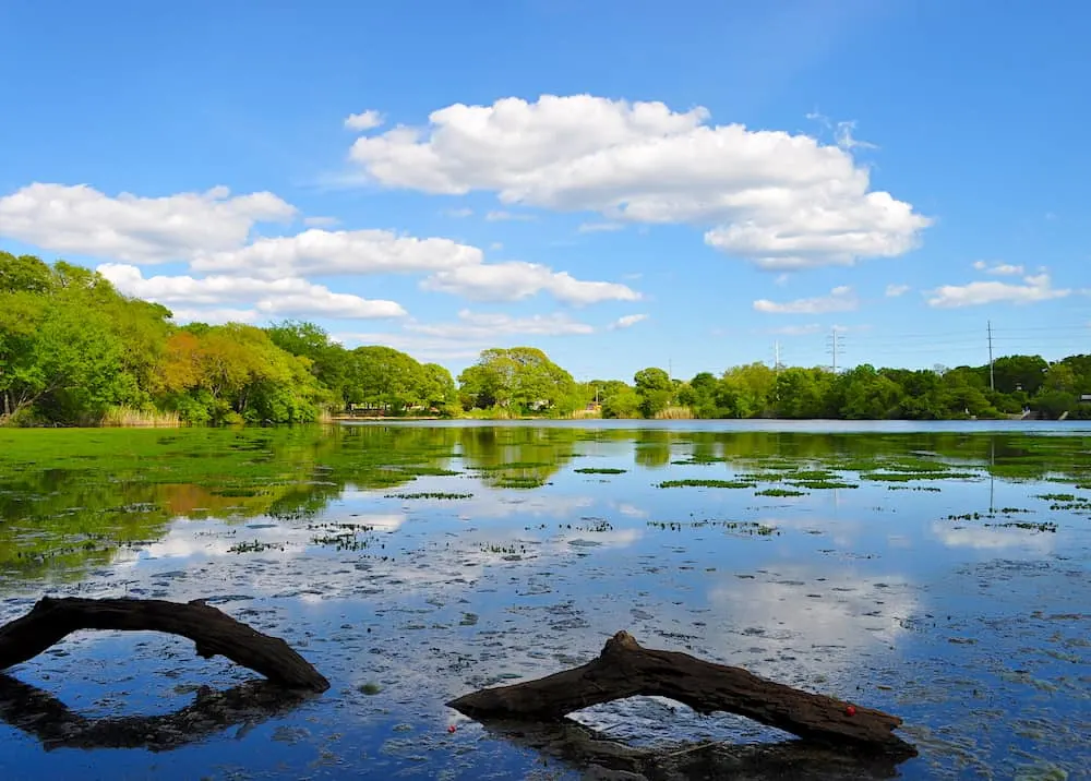
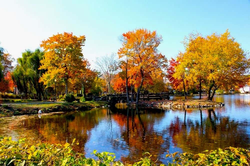
1. Connetquot River State Park Preserve
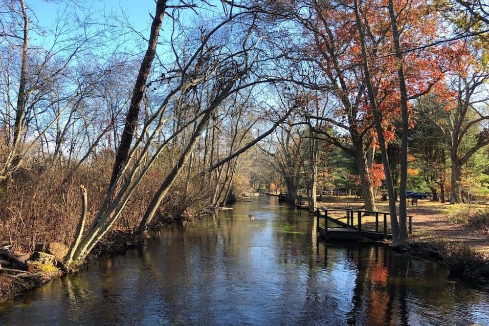

Let’s start big! Nestled between Islandia and Oakdale, the Connetquot River State Park Preserve is the biggest state park on Long Island.
In fact, It has over a thousand more acres than its next largest rival – something that kind of makes me tired just thinking about it!
But, that also means there’s soooo much more for you to enjoy. In fact, there are actually several color-coded trails to explore, ranging from Yellow (the shortest) to Blue (the longest – duh!).
On top of that, there are plenty of unmarked trail paths that crisscross through the park, so you can make up your own trail if you like!
The Blue Trail is around 8 miles long and takes you on a huge loop around the park. What makes it one of the best hiking trails on Long Island is that the trail is pretty flat, so it’s accessible to hikers of any skill level.
That’s why, no matter who you are, you’ll feel like a total boss as you blast through this magical park.
Pro Tip: if you’re looking for a snack on the way, make sure to take the White Trail – if it’s the right time of year since the blueberry bushes will be full of juicy blueberries. Now that’s what I call getting back to nature!
Length: 8 miles for the longest trail
Difficulty: Easy-Moderate
Elevation Gain: 36 feet
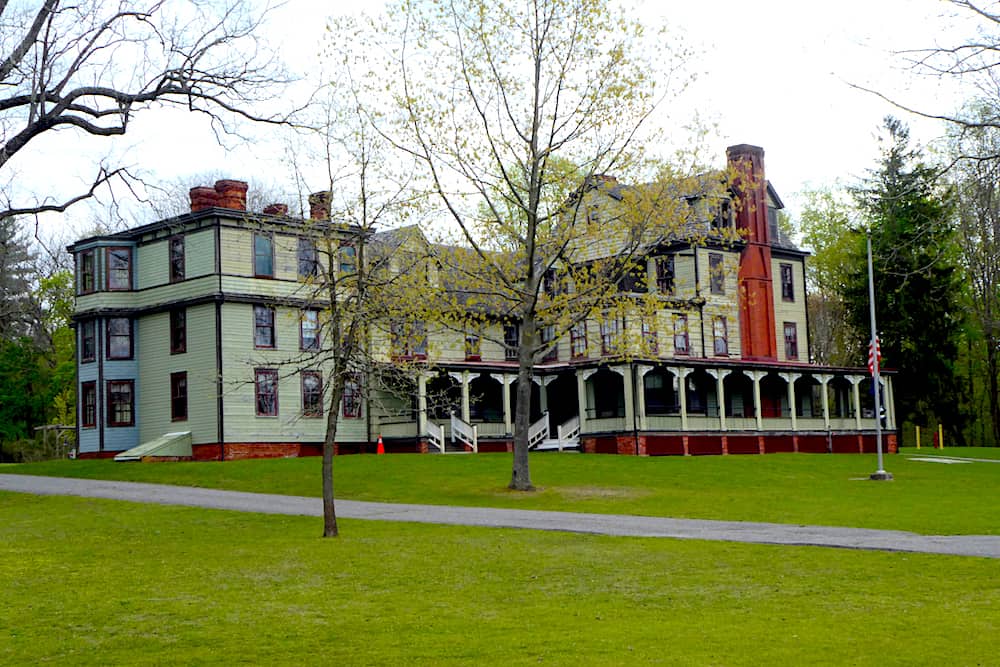
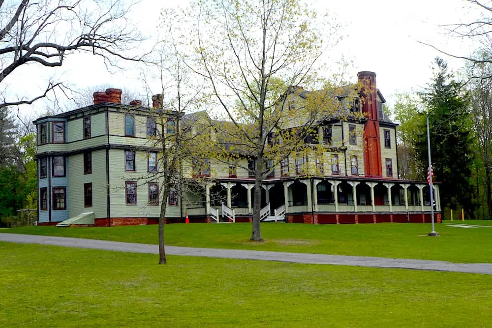
2. Sands Point Preserve Loop Trail
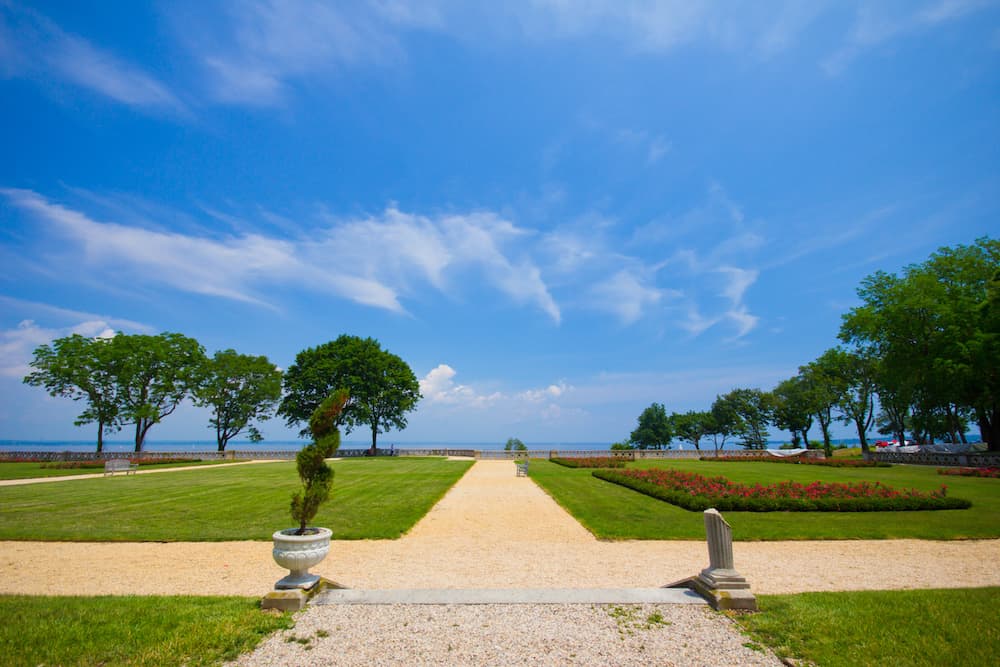

What’s something you don’t often see in America? Yup, a castle.
But that’s just what you’ll get when you drive up to Sands Point Preserve since it’s home to Castle Gould, a 100,000-square-foot building, complete with its very own clock tower.
Apparently it was built way back in 1904 by Howard Gould for his wife, actress, Katherine Clemmons.
Geez, now that’s what I call devotion, I can barely get someone to buy me a sandwich, let alone build me a full-on castle.
Anyway, the only problem with this exquisite building? Well, once it was built, she didn’t feel like it really suited her.
So, they just built a new manor to live in instead that was pretty much right next door. Talk about the glamorous lives of the rich and famous, am I right?
Anyway, there’s a lot of activities available to hikers exploring the Long Island walking trails here.
Because in addition to the castle and manor, there’s a playground, a dog park, a Dino Trail, plenty of beach space and tons of woodland areas.
And the Sands Point Preserve Loop Trail will introduce you to all of these activities and more – making it easily one of the best hiking trails on Long Island for families, especially if you’ve got young kids.
Pro Tip: If you head out towards Trail 5 (north of the Pond area marked on the map boards), you can get a great view across the water of the Long Island Sound.
Length: 2 miles
Difficulty: Easy
Elevation Gain: 132 feet
3. Muttontown Preserve
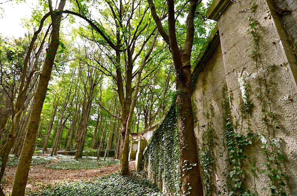
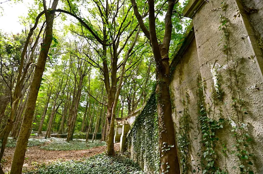
If you’re after a more random, choose your own adventure-style hike, then Muttontown Preserve is the park for you.
There are trails and paths all over the place, so you can pick and choose your route, and customize it however you like. So, every time you go, you can enjoy a brand new experience!
Plus, Muttontown Preserve has a lot – a LOT – of beautiful woodland, with plenty of wildflowers to see. That’s why it’s a favorite spot among horseback riders who like to ride through the area.
Persimmon trees also thrive here. According to Korean folklore, dried persimmons can scare away tigers, which might be why you won’t see any tigers on your hike! Yep, that’s definitely the reason (insert winkie emoji here)!
Now, towards the southern part of the Preserve, you’ll also come across the historic ruins of a mansion. See, back in 1951, this 60 room estate was bought by King Zog I of Albania … but he never moved in.
Yeah, in fact, he never even came to America, and the mansion was demolished in 1959. But there are still plenty of stone stairs, pillars, and remnants from the garden fountain to explore here.
Pro Tip: Head to the Muttontown Lane entrance and pick up a map, then start your hike from the Nature Center at the north end and enjoy one of the best hiking trails on Long Island.
Length: 2.5 miles for the main loop, more if you explore more of some of the best hikes on Long Island.
Difficulty: Easy-Moderate
Elevation Gain: 132 feet
4. Edgewood Oak Brush Plains Preserve Trail Loop
Located almost smack dab in the center of Long Island is the Edgewood Oak Brush Plains Reserve – a place with an added layer of awesomeness that is perfect for anyone who wants to escape the chaos of NYC (i.e. it’s perfect for cyclists)!
So, If you like to hike while on a bike (I’m totally a poet) then this place should be on your radar. Because there are multiple trails here for cyclists, of all skill levels, who want to pedal through this oasis of woodland beauty.
Although, the easiest trail of them all is probably the 5.5-mile loop around the preserve. But there are several more complex loops inside this one, so you can tailor your route based on your personal preferences.
And for those of you out there with little furry friends, this preserve is also one of the best hiking trails on Long Island for dogs. But, do remember that they must be kept on a leash at all times.
Pro Tip: If you’re taking on these Long Island trails by foot, always be on the lookout for cyclists. Many of the inner loops can be used by both hikers and bikers (again with the rhymes!), and while the main point of these areas is to appreciate your natural surroundings, some cyclists can hit the trails pretty hard and fast. So, always stay vigilant since we at Girl with the Passport are all about safety first!
Length: 5.5 miles
Difficulty: Easy
Elevation Gain: 21 feet
5. Massapequa Lake Trail
Massapequa Preserve stretches all the way from Farmingdale to Biltmore Shores. So there’s a huge amount of Long Island trails just waiting to be explored!
Officially named the Peter J. Schmitt Massapequa Preserve, this park contains not one but six large bodies of water, all flowing along Massapequa Creek and ending in (you guessed it) Massapequa Lake at its most southern point.
This means that there are a ton of ducks, swans, and other birds for any eager birdwatchers to enjoy.
Now, t aptly named Massapequa Lake Trail actually connects all of these lakes together, running down the length of the preserve with just over 6 miles of paths in total.
And with all these trees and natural areas, you could walk for a hella long time and totally lose yourself here- forgetting you’re in a city at all!
Plus, If you want to take a break and actually brought your fishing gear, then you’ll love that there are also a huge number of fish to be caught here, including rainbow trout, largemouth bass, American eel, bluegill, and more. Just remember that there’s a five-fish-catching limit per day, so don’t go and overdo it!
Also, once you reach Massapequa Lake, if you keep on going south, you can even head all the way to the beach and finish your hike along the shores of Massapequa Cove or South Oyster Bay.
Pro Tip: Some water-resistant footwear is recommended. Some of the paths here cna become waterlogged and can be quite muddy, so make sure to bring some sturdy shoes when exploring one of the best hiking trails on Long Island.
Length: 6 miles
Difficulty: Easy-Moderate
Elevation Gain: 48 feet
6. Sunken Meadow State Park
The Sunken Meadow State park trail is a really picturesque one to embark on. For starters,the view ranges from sandy beaches to meadows and even wait for it… cardiac hills. Yup! Those hills seem designed to get the heart thumping and lungs gasping!
The real beauty of this trail is that it can be added to and subtracted from at will. As you gaze into the distance you can all but see the path you want to take. The meadows just merge into the hills and before you realize it, you will be heading up and admiring the view!
Pro tip: Parking fees are seasonal but the difference isn’t much. So it shouldn’t matter. Try and park in field 3. That way you don’t have to traverse too much land before finding your car. The entrance to the trails is close to it.
Length: 3.7 mile loop trail
Difficulty: Easy
Elevation gain: 20 feet
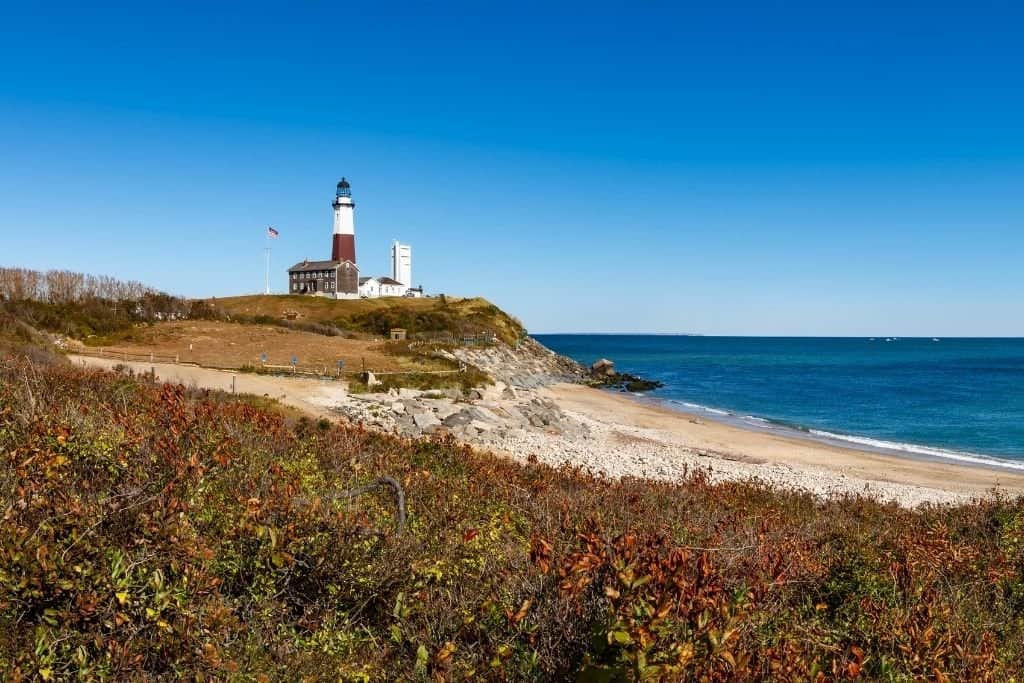
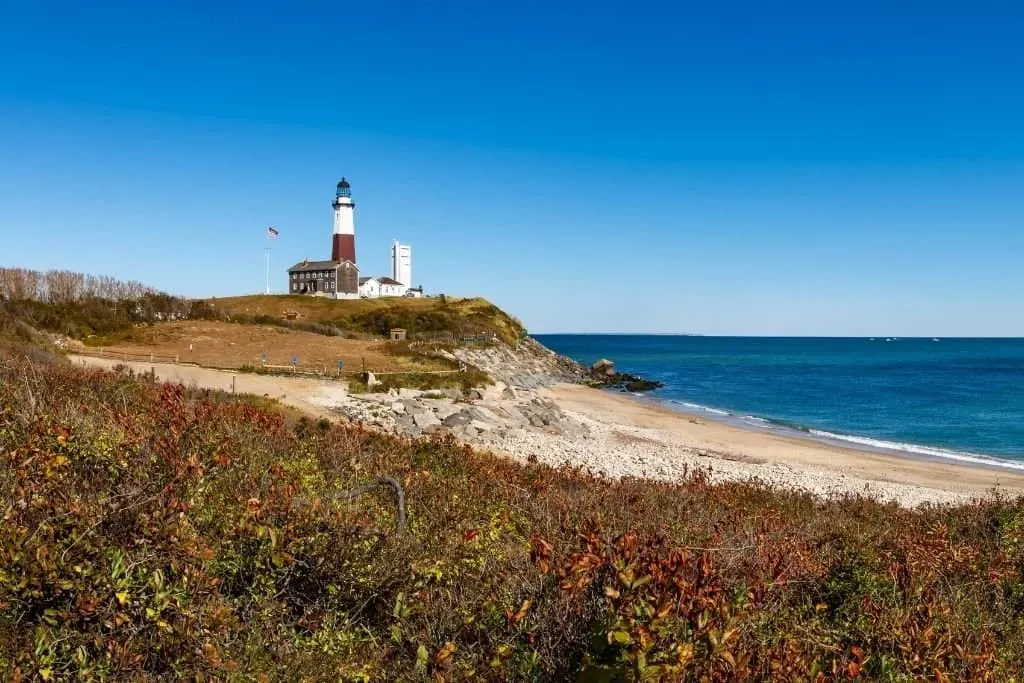
7. Montauk Point State Park (Money Pond Trail)


Montauk Point is the most easterly part of Long Island. If you go any further, you’d better start swimming, because you’ll be in the Atlantic Ocean!
In fact, this is where the Long Island Sound and the Atlantic meet – which is why standing here on the coast and looking out at the Atlantic is a truly breathtaking, super rewarding sight.
Why? Umm…because you’ll have just hiked along the Money Pond Trail. So you’ll deserve a treat! Not that this particular nature walk is taxing (it’s just over a mile long). But it’s one of the best hiking trails on Long Island, so you can’t miss it.
I mean, leafy woodlands, small creeks to hop across … what’s not to love?
Believe it or not, the Money Pond Trail apparently gets its name from a rumor about there being buried treasure in the area (anyone else bringing a shovel with them? Just me?).
It also forms part of a loop with two other trails in the park – the Seal Haul Out (where the Money Pond Trail starts – we’ll talk more about that one in a little while) and the Oyster Pond Trail.
Altogether it’s just under 3 miles in total, so casual and serious hikers can both enjoy it.
Pro Tip: Make sure you head down to the Montauk Lighthouse. This national monument was commissioned by George Washington (yes, THAT George Washington!) and has stood for over 200 years.
Length: 2.8 miles
Difficulty: Easy
Elevation Gain: 130 feet down to the beach
8. Montauk Point State Park (Seal Haul Out Hiking Trail)
There’s a reason why Montauk Point State Park gets two trails on this list. The clue as to why this is one of the best hiking trails on Long Island is in the name. Seals!
From November through to March, this place becomes the ultimate holiday destination for dozens of these adorable sea creatures.
Because like many of us humans, they enjoy rocking up to the beach and hopping onto the rocks that lie just off the coast, so they can catch some sun. Fortunately, the Seal Haul Out Trail leads you right up to the place where this happens and one of the best family beaches on the east coast.
The trail itself begins near the Montauk Highway and goes roughly north for 1.5 miles through paths that are sometimes a little difficult to follow until you reach the coast.
Then it’s seal time, baby!
Pro Tip: While they may seem huggable, the seals are still wild animals and feel very threatened when approached by humans. It’s great to enjoy them, but please do so from a distance – there’s actually a fence that protects them from enthusiastic onlookers. After all, no one wants to be chased down the beach by an angry seal!
Length: 1.5 miles
Difficulty: Easy
Elevation Gain: 51 feet
9. Caleb Smith Park Loop
Formerly a private house and grounds built in the 18th century, Caleb Smith State Park Preserve (named after the original owner) has been a national park since 1963.
Two branches of the Nissequogue River run through here, which has greatly enriched the wildlife (be prepared to encounter some deer), and the scenery (omg the lakes yo!).
As you might expect, there are plenty of color-coded trails to follow. But if you’re going for the full Loop Trail you’ll do sections of pretty much all of them.
Now, the Loop Trail starts just off the Jericho Turnpike near Willow Pond – it’s around 3 miles in total (more if you like to wander) and is good for all skill levels.
Plus, if you’re bringing the family to do one of the best hiking trails on long island, and you want to break up your hike a little, make sure to check out the Nature Museum.
It has some fun interactive exhibits which will entertain and educate both kids and adults alike!
Pro Tip: The park closes early compared to other parks, around 4:00 pm most days, though sometimes it may be open longer. In order to make the most of your trip though, e sure to arrive early so that you can enjoy this beautiful place as long as humanly possible.
Length: 3 miles
Difficulty: Easy
Elevation Gain: 201 feet
10. Blydenburgh County Stump Pond Loop
I absolutely love the Blydenburgh County Stump pond loop. This is a rather long trail to embark on so know that it is going to take you time to cover all 5.7 miles. The bonus is that it loops around so you always have a different view as you head forward. On the other hand, there are no shortcuts. You either head on and complete the loop or you head back the way you came.
Aside from the trails and amazing views of the pond, there are numerous activities to enjoy in the area. Kayaking is a personal favorite but I know loads of people who enjoy fishing, camping and horse riding in the area too!
Pro tip: You can also look up the guided tours. It is a great way to learn about the flora, fauna and the history of the area. Plus, it helps you meet with other hiking enthusiasts.
Length: 5.7 mile loop trail
Difficulty: Easy
Elevation Gain: Pretty level. No real elevation gain.
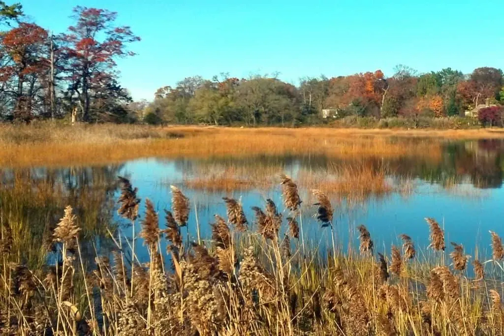
11. Hubbard County Park


Anyone who loves marshy wetland areas will understand why this 1,815-acre park is home to one of the best hiking trails on Long Island.
Nature lovers will also adore this hiking trail as quite a bit of wildlife can be found along the way.
I mean, I know I’ve definitely spotted deer, multiple birds, and even a turtle during my hikes through Hubbard County Park! And I’ve heard from friends of even more exotic sightings.
And, my favorite bit is the creepy “ghost forest” that can be found within the park. This so-called forest is actually a bunch of stumps that were once cedar trees that have long since been swallowed up by a swamp due to recent changes in sea level.
But, if hiking isn’t the only thing on your mind, you’ll want to make a day of it exploring this beautiful park. There are plenty of activities to keep you busy.
For example, visitors can easily rent a canoe or kayak to use in nearby Hubbard Creek. As a total newbie, I loved kayaking through the creek. The waters are calm, but the pretty surroundings prevent it from being dull.
Fishing and hunting are also allowed in the park, but I have no personal experience there.
Also, please be respectful. The land once belonged to the Native American Shinnecock Nation, and its history can be traced back nearly 10,000 years!
Pro Tip: Due to the terrain, the best time to visit is from mid-April to October. Winter visits are certainly possible, but it can be a bit dreary, and very wet, and not the optimal time to explore one of the best hiking trails on Long Island.
Length: 2.6 miles (this hike should take you about 1 to 2 hours to complete)
Difficulty: Easy
Elevation Gain: Almost no elevation gain.
12. Tackapausha Preserve Trail

Located inside of the Cedar Creek County Park, Tackapausha Preserve Trail is one of my faves. And I think once you visit, you’ll agree it’s one of the best hiking trails on Long Island.
Why? Because it has a bit of everything: marshlands, geese, wooded forest areas, and even graffiti!
So, maybe I’m just easily impressed, but I love walking across the wooden walkways and pretending I’m an explorer. Just me?
Plus, history buffs will totally want to check out this trail since it was actually the very first tract of preserve land acquired by Nassau County in 1938.
And, added bonus? The preserve actually houses a fairly sizeable museum where you can learn all about the history of the land, how it was acquired and the life history of all the wildlife that currently lives within the park.
However, if you feel this hiking trail isn’t challenging enough, I recommend trying out the 9.2 mile Jones Beach Bikeway. It’s another trail within the park, and is a popular walking, running, and biking trail.
Pro Tip: The lack of elevation and varied terrain makes this one of those Long Island trails that is ideal for the whole family. I’ve seen families with 3 or 4 generations hiking this trail together with no trouble. It’s also a great way to walk off those extra holiday pounds while enjoying nature but without over-exerting yourself.
Length: 3.7 miles round trip (this hike will take about 2 to 4 hours depending on your pace – and how long you spend admiring the geese)
Difficulty: Easy
Elevation Gain: Pretty level. No real elevation gain.
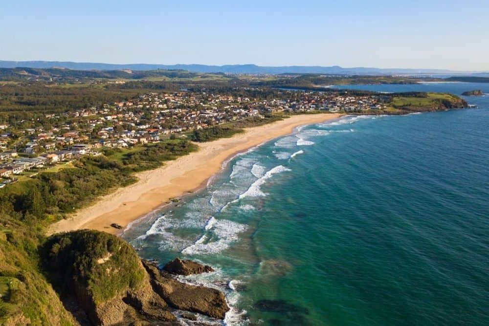
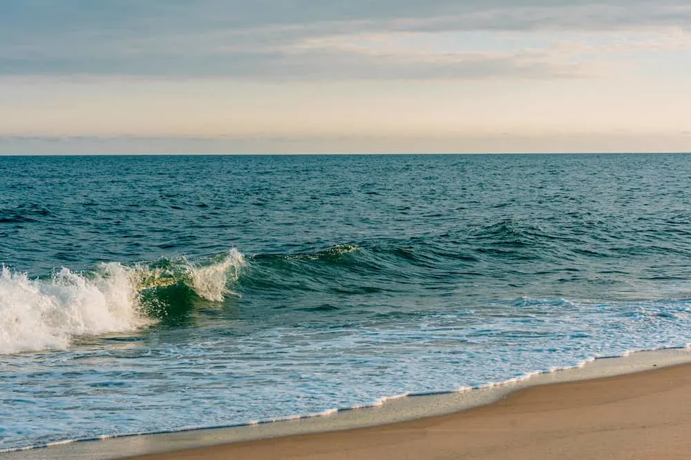
13. Robert Moses State Park (Beach Trail)


To reach this sandy gem, you’ll have to head out to Fire Island by crossing over the causeway from Conklin Point. But once you get here, you’ll have miles of beach to explore!
The Beach Trail itself is around 9.5 miles long and follows the coast along the western end of the island. As with many beaches, it’s mostly flat and won’t be too challenging for most hikers.
There are also boardwalk areas for you to access if you don’t want to walk through a ton of soft sand.
When you get to the most western point of the hike, you’ll be able to see across to Cedar Beach on Jones Beach Island. And if you’re there at the end of the day, you’ll be treated to a magical sunset!
Like Montauk Point, this park also has a picturesque lighthouse, which has stood for over 150 years. It can be reached by heading east from the starting point of the Beach Trail. Honestly, it’s pretty hard to miss it – it’s very tall, and the island isn’t that wide!
Pro Tip: The Beach Trail is one of the best hiking trails on Long Island that is best hiked in the off-season. Because, not surprisingly, Robert Moses State Park gets over 3 million visitors a year. And when the tourists start arriving, they can inundate the area and make it much more difficult to get around. Come on people! Move your picnics! I just wanna hike!
Length: 9.5 miles
Difficulty: Easy, slightly harder if you head out to the lighthouse
Elevation Gain: 81 feet
14. Jones Beach Boardwalk

While it’s only the second-biggest state park in Long Island, Jones Beach is the most visited since 5 and a half million people visit every year.
But the fun doesn’t end there! Because guess what? The only state park that gets more visitors each year than Jones Beach is Niagara Falls. Oh yeah – it’s popular AF.
Now, once you’re here, the Boardwalk hike runs straight alongside the beach, from Field 1 to Field 6 (such imaginative names!), is 4 miles long, and good for all hiking skill levels.
The Boardwalk is also used by cyclists, but pedestrians do get right of way, and there are signs posted along the route to remind cyclists. So yeah, you shouldn’t have to worry too much about getting pummeled by a rogue bike.
Be warned though: Jones Beach State Park is on the Atlantic Ocean, so if any bad weather happens, it tends to hit this small beach pretty hard. Basically, if you get rained on it’ll feel like the great flood to end them all.
Pro Tip: Field 1 has ample parking available, so starting your hike there, walking along to Field 6, and then coming back again, is an ideal route for families who need to drive their tired children home after a fun day at the beach spent conquering one of the best hiking trails on Long Island.
Length: 3.9 miles
Difficulty: Easy
Elevation Gain: 27 feet
15. Heckscher State Park Bike Path

Now, I know what you’re thinking, but, I pinkie promise, it’s totally okay to hike on this “Bike Path”.
Because the two different trail paths here are a comfortable 12 feet wide and are even divided by a yellow line to keep cyclists and hikers from smashing into each other.
And at a little over three miles long, this is one of the simplest of the best hiking trails on Long Island. I mean, the path is paved and smooth, and almost completely flat, making it one of the most accessible hikes for anyone with mobility issues or a baby in tow.
Plus, If you’re feeling super retro, you can even break out the rollerblades and dazzle spectators with your inline skills, yo!
There’s also plenty of wildlife to see along the way since Heckscher State Park is known for being home to a ton of White-tailed Deer.
And if you time it right, you might even be able to catch a baby deer being taught to run! However, if that magical moment doesn’t actually happen, there are also 280 different bird species to be observed, so bring those binoculars!
Pro Tip: While fun for the entire family, the Bike Path doesn’t have a lot of shade. So, make sure to bring appropriate protection from the sun – the last thing you need as a souvenir is a sunburn!
Length: 3.2 miles
Difficulty: Super easy
Elevation Gain: Almost none, pretty level all the way around
16. Quogue Wildlife Refuge
The Quogue Wildlife Refuge first opened as a nature preserve in 1934, and it has been delighting families, hikers, and general outdoor enthusiasts ever since.
For hikers, the Quogue Wildlife Refuge is a treat since there are several different hiking trails within the park, and while there are only around seven miles worth of trails here, you can easily spend all day exploring them.
I personally like to start out in the Butterfly Garden. Especially since this stunning garden isn’t just home to butterflies, but other pollinators, too, like bees, and hummingbirds. Plus, when it’s spring and everything is in bloom, it’s extra special!
From there, I like to zig-zag through the trails soaking up all the unique natural landscapes within the park.
Because not only are there plenty of animals to spot, but there are also bog walks, and an ice exhibition, here too. And while I’m definitely not a tree expert, I do know the refuge prides itself on its rare, but healthy, Dwarf Pines and Pine Barrens.
These can be seen all along one of the best hiking trails on Long Island, in addition to tons of Pine Oaks.
Pro Tip: The trails are open 365 days a year from sunset to sunrise, so take advantage of that fact and get there early. I know it sounds dreadful for my fellow not-a-morning-person hikers, but it will be worth it, I promise!
Length: 7 miles of various hiking trails throughout the park (the trails usually take around 2 to 4 hours to complete)
Difficulty: Easy
Elevation Gain: Pretty level. No real elevation gain.
17. Caumsett State Historic Park Preserve (Caumsett State Historic Park Perimeter Loop)
The Caumsett State Historic Park Preserve has a path for almost everyone. So if you are pushing a stroller and need a paved path or you want something a little more adventurous, you will find it here.
The Perimeter Loop is one of the best trails in the area. It is a loop trail that takes you via the scenic route. You will see marshes, people fishing and even a dairy farm. If you are lucky, you can even catch people horseback riding in the area.
The route gets its name because it winds around the park and takes you to the edge or perimeter of the Long Island Sound. This part offers some really breathtaking views.
Pro Tip: You can choose to walk right through all 5.2 miles or take your time and spend some time at the beach or head out and fish. You will find that all the beaches are accessible from the trail as it skirts the perimeter of the island. Like I said before, there is an activity for everyone here!
Length: 5.2 miles loop trail
Difficulty: Easy
Elevation Gain: 334 feet
Moderate Hiking Trails on Long Island
18. Brookhaven Trail

At over 1,600 acres, Brookhaven State Park is one of the largest on Long Island. In fact, it was once owned by Brookhaven National Laboratory and was even part of a military installation at one point.
Nowadays though, it’s home to some of the best hiking trails on Long Island – something that I personally see as a huge upgrade!
FYI, this is also where you can go to find a large number of the Long Island Central Pine Barrens. The barrens cover an area of more than 100,000 acres and are publicly protected lands that stand as Long Island’s last remaining wilderness.
So if it’s pure, rugged wilderness that you’re looking for, you’d be crazy not to come to Brookhaven!
Now, the main draw for hikers here is The Brookhaven Trail – a 4-mile loop that starts in the north of the park and heads south towards Paumanok Path.
This trail is more challenging than some of the other hikes on this list, so make sure you’re prepared with some supplies and possibly some hiking poles.
Pro Tip: If you’re super into botany, make sure to head into some of the scattered wetlands in the park. There are Christmas ferns, wild geraniums, and flowering dogwood to be found, as well as many other types of flora and fauna.
Length: 3.9 miles
Difficulty: Moderate
Elevation Gain: 96 feet
19. Cold Spring Harbor State Park (Nassau-Suffolk Trail)

Cold Spring Harbor may be the smallest State Park on this list (and the smallest in Long Island to boot) but it sits at the tip of one of the longer and more challenging hikes on Long Island: the Nassau-Suffolk Trail.
Depending on which sections of this 19-mile trail you hike, you’ll experience different levels of difficulty. The northern part of the trail has more hills and might be tough for anyone who struggles to climb steep slopes.
However, all those tough climbs mean sweet, sweet views at the top.
Likewise, the southern part is much easier and much flatter. Although, if it’s been raining then this part of the trail can get exceptionally muddy.
Fortunately, at any point along the trail, you can divert off into another park (such as Trail View Park in the northern half or Bethpage State Park in the south) if the hike feels like it’s getting a bit too difficult.
Pro Tip: Because it’s more challenging, this particular hike attracts more people than others. It can get pretty busy on the Nassau-Suffolk Trail, especially during the late spring/early autumn period, so make sure you take into account the fact that it might get a little crowded!
Length: 19 miles
Difficulty: Moderate-Difficult depending on which parts you choose
Elevation Gain: 864 feet up and 891 feet down during the northern section, fairly flat in the southern areas
20. Hither Hills State Park

There are a few hiking options within this park. However, I definitely recommend doing the whole loop around. This way, you get to experience the full extent of the park – something that makes this one of the best hiking trails on Long Island.
Now, the park (and hiking path) starts at the Hither Hills Campsite. So follow the signs to that point, then keep heading along the beachfront until you see signs directing you towards the park and the Walking Dunes.
From there, the terrain will slowly transform from sandy beaches into woods and marshland. Don’t let the sandy coast fool you though because this is no place for those flip-flops on your beach vacation packing list!
Next, keep following the path and you’ll soon find yourself back along the coast on the Walking Dunes trail.
This is definitely the most popular part of the trail, so you might run into more people here (the dunes can be accessed directly without doing the full loop). But it’s a wide-open area, so it never feels that busy.
As the name might suggest, the sand dunes ‘walk’ varies a bit each year depending on wind speed and direction. You can see the dunes from the safety of the fores thought, or walk right along them. Just be careful because it gets windy AF out there!
Once you’re satisfied admiring the dunes, you can mosey on over to the next section of trail and continue along the coast. The rest of the coast is a mix of woods, marsh, and sandy dunes, making it one of the most unique and best hikes on Long Island.
I won’t lie to you, with the ever-shifting sands, it can be easy to lose the path. But, if you get lost, just follow the coast, and eventually, you’ll find your way.
Pro Tip: Make sure to bring a hat or scarf to protect your face. If the wind picks up, it can be a nightmare trying to avoid getting sand EVERYWHERE, including but definitely not limited to your eyes.
Length: 8 miles (this hike can be done in 2 to 4 hours)
Difficulty: Moderate
Elevation Gain: 423 feet, but despite the name, it’s relatively gradual
21. West Hills County Park (Walt Whitman Trail)
The Walt Whitman trail is one of the cool hiking trails in Long Island. What makes it unique? Well the trail gets its name from the famous poet Walt Whitman who loved the area. You can walk along the trail into the forest and see lots of the native trees.
The forest is home to a lot of wildlife. Keep your eyes peeled and you may catch sight of a red fox! The park is also home to the turtle dove, chipmunks, salamanders and other animals.
The Walt Whitman trail is also popular among dog lovers because it is very pet friendly and the dogs love running around here. Just note that your dog has to be on a leash here.
The best part about the trail however is reaching the summit of Jaynes hill. This is the highest point on the island and gives a hiker some incredible bird’s eye views.
Length: 8.2 miles
Difficulty: Moderate
Elevation Gain: 81 feet
Difficult Hiking Trails on Long Island
22. Long Island Greenbelt Trail
The Greenbelt Trail is the longest trail on this list. So yeah, it’s basically like the Mother of all of the best hiking trails on Long Island.
Or, roughly 33 miles from top to bottom, from coast to coast, Smithtown to Great South.
In fact, it’s so long it actually passes through many of the state parks we’ve been talking about, including Connetquot River, Caleb Smith, and many others.
So, if you can hike the entirety of this trail, you’re the Long Island trails, grandmaster.
Now, in addition to being long, this trail is also trickier than many of the others. It’s marked by white blazes along the way, but because of the length, not all of the markers are clear.
That’s why the route can sometimes be difficult to follow, as you’ll be crossing all kinds of terrain.
Heck, you might even find yourself leaving these natural areas and venturing onto busy suburban streets. While this can be disorientating and take you out of hardcore hiker mode – just stick to the trail everything will be ok.
I mean, It’s not the Mother for nothing!
Pro Tip: You’ll see white blazes on both posts and trees. Where there’s one blaze, continue straight on. If there are two blazes, that means you need to turn in the direction of the topmost blaze. Good luck, and have fun hiking Long Island!
Length: 33 miles
Difficulty: Difficult
Elevation Gain: 888 feet
Hiking Trails On Long Island FAQ
What Is The Longest Hike On Long Island?
Not only is the Long Island Greenbelt trail the one of the hardest trails on Long Island, it is also the longest! The trail is 33 miles long! It also has an elevation gain of 888 feet.
What Is The Most Difficult Hiking Trail On Long Island?
Long island isn’t known for its steep ascents. In fact Jayne’s point is the highest point on the island. That however does not mean that there are no difficult trails. Cold Spring Harbor State Park trail is known as one of the most difficult hiking trails on Long Island. This is because of the steep ascents and the relatively untouched terrain.
What Is The Highest Elevation Hike On Long Island?
The highest elevation hike on Long Island is the one that takes you to Jayne’s point. The best way to head here is via the Walt Whitman trail. Despite the elevation the trail is relatively easy and is also dog friendly!
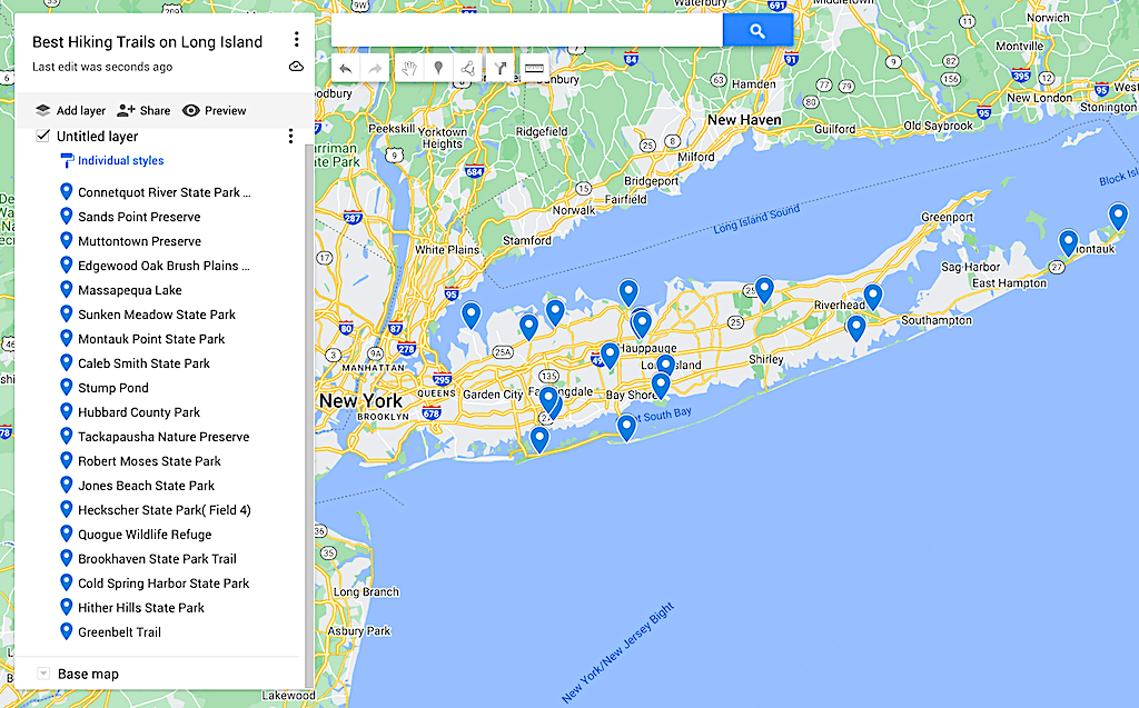
Map of the Best Hiking Trails on Long Island

Additional Hiking/ NYC Travel Resources You’ll Love!
- The Best Areas to Stay in NYC
- Pros and Cons of Studying Abroad
- The Best Hikes in the Adirondacks
- The Ultimate NYC Bucket List
- 12 of the Best Hikes in Acadia National Park
- 22 Cool Museums in NYC
- The Best Hikes in Maine
- The Best Hikes in Upstate New York
- Best Towns to Visit in Alaska
Well, my outdoor/Long Island loving friend, that just about concludes this epic list of the best hiking trails on Long Island!
Tell me, what do you think? Did your favorite Long Island trails make the list? If not, let me know in the comments below and I’ll be sure to check them out!
And if you found this post helpful, be sure to pin it now so that you can read it again later!